|
UAV Mapping / Photography
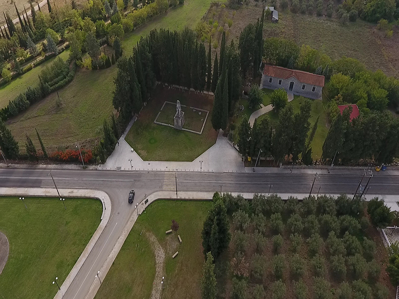
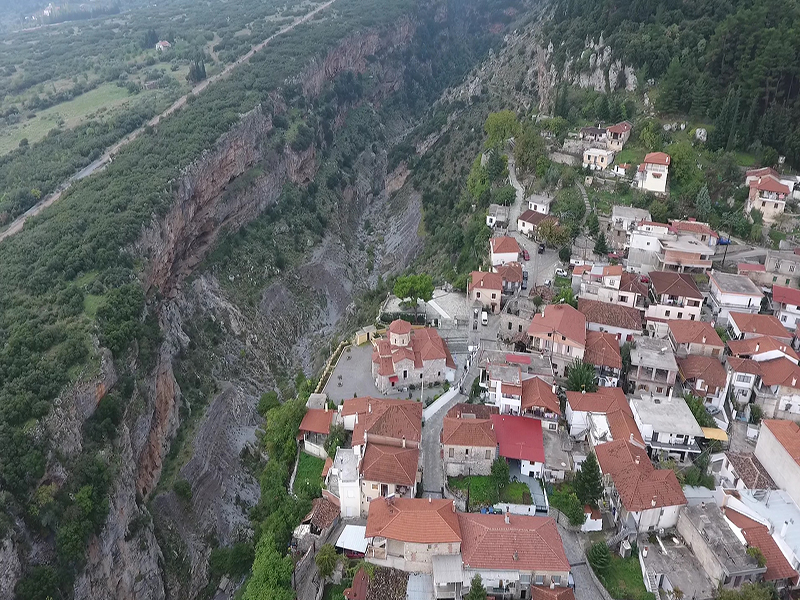
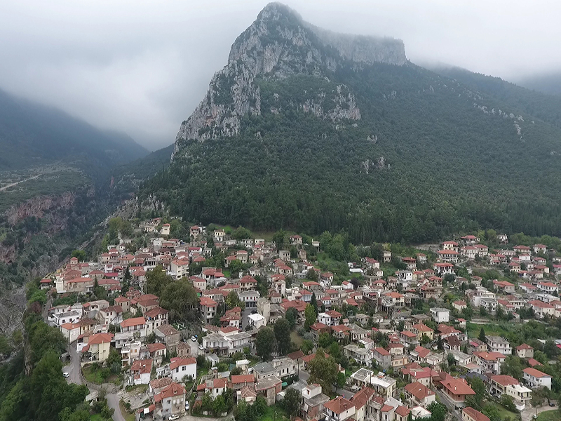
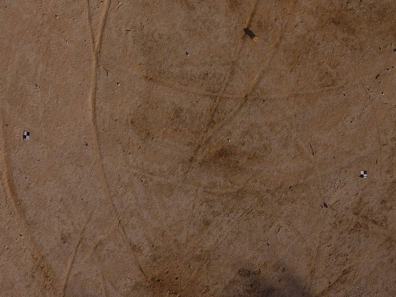
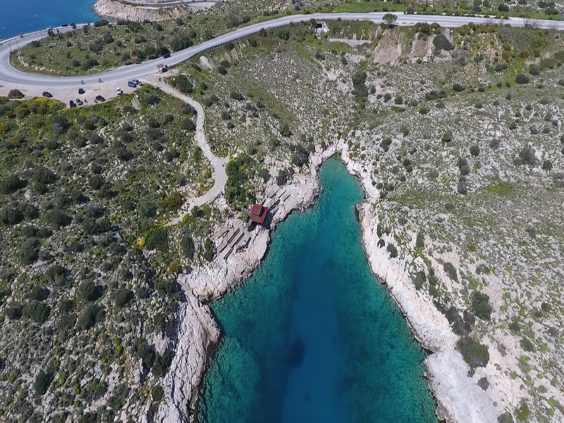
Topogrammiki Surveys has expanded its services from the water and the land to the air. Drone mapping with the use of photogrammetric means, facilitates the mapping procedure, makes it faster and eliminates the need to return back to the site for missing data collection, thus ensuring no errors occur. Additional benefits of aerial mapping are of course the ability to map areas that are hard to access with traditional surveying methods, as well as the possibility for great visualization of the surveyed sites by generating Digital Surface Models and Orthophotos instead of traditional maps.
Using appropriate software our company can carry out a great number of drone mapping projects such as :
- Orthophoto Generation for large areas
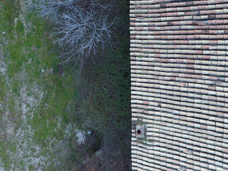
- Mapping of Buildings exterior and 3D model creation
- 3D Mapping of large contructions
- Archaelogical Sites Mapping
- Mapping of natural terrain morphology
- Monitoring of Dynamically changing enviroments (Lakes, Shorelines, Vegetation)
- Terrain Volume Calculation
Additional services that can be provided with our drone concern aerial filming and photography and can be found useful in the following sectors :
- Inspections in Industrial and Construction areas
- Touristic Sites Promotion
- Cultural Heritage Recording and Protection
- Real Estate Evaluations
- Advertisment and film creation
|