|
Υποβρύχιες Αποτυπώσεις
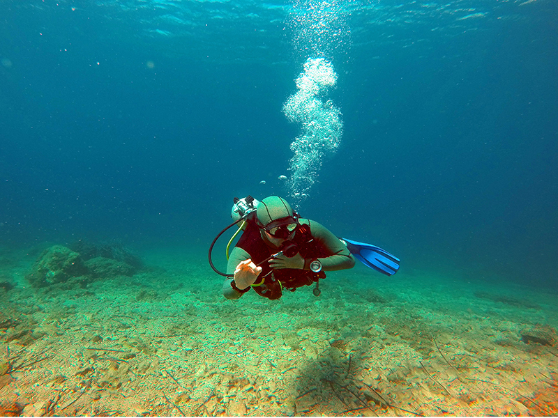
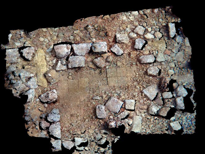
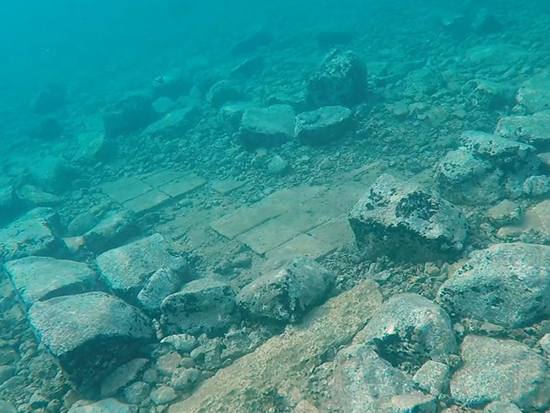
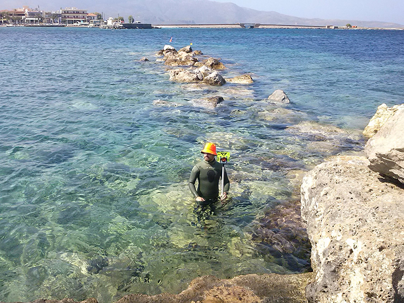
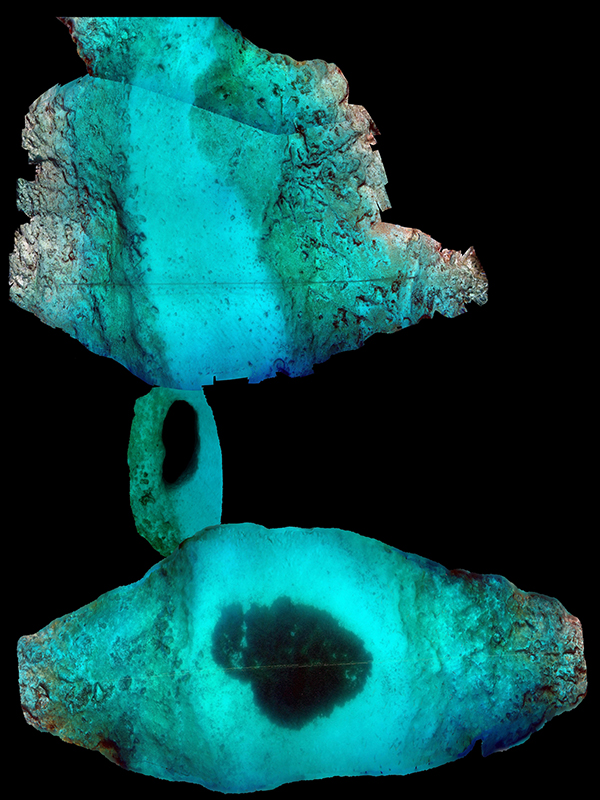
Underwater 3d mapping/ modeling
The combinination of typical hydrographic and geophysical approaches with the latest photogrammetry techniques and standard topographic methods enables us to gain an overview of the seabed and furthermore to create 3d maps of the underwater terrain, such as 3d models of manmade objects/constructions.
Scope:
- Cultural Heritage
- Underwater Archaeology
- Port construction Projects
- Environmental Surveys
- Inspection of manmade objects
- Promotion of tourist destinations
- Diving Site Surveys
Underwater filming
- Typical underwater inspections and filming of maritime and port infrastructure
- Video footage of underwater sites (documentary, presentation, promotion films)
|